NWS Issues Winter Weather Warning For Wenatchee And Region
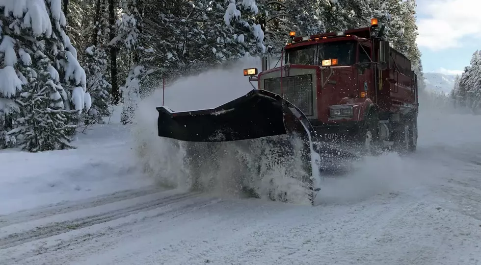
What stared off as a forecast for a major winter storm Monday evolved into a Winter Storm Watch Monday evening, and finally into a Winter Storm Warning overnight Tuesday morning for North Central and Eastern Washington.
National Weather Service meteorologist Valerie Thaler says the rapid increase in intensity has to do with forecasting models.
"So, there has been a lot of uncertainly with this storm," said Thaler. "But we did start having more confidence yesterday, which was when the watch was issued."
Wenatchee is now expected to get 6.3 inches of snow between 4pm Tuesday and 4pm Wednesday, with levels increasing to 16 inches up the valley in Leavenworth.
The Lake Chelan area could see 9-to-12 inches while Waterville and Mansfield in the Plateau could get 10-to-12 inches.
Smaller accumulations of 2-to-5 inches are expected in the Columbia Basin.
Thaler said the change in show levels was not entirely unexpected. "We have been messaging for the potential for this major winter storm for a couple of days leading up to the watch issuance, and the warning issuance."
More From Washington State News


